Diamond Peak
Diamond Peak SE elevation 6,379 feet, Umatilla National Forest Garfield County, WA, 26 miles South-southeast of Pomeroy. Reached by driving south from Pomeroy on Forest Road 40, turning right on to Forest Road 4030. Pomeroy Ranger District, Umatilla National Forest.
Diamond Peak is in the Blue Mountains, that straddle Oregon and Washington. The view looks into the Wenaha Tucannon Wilderness Area, in the headwaters area of Crooked Creek, which drains into the Wenaha River, a tributary of the Grande Ronde River. The Blue mountains are flat to rolling on top with deeply incised rocky canyons. Because of exposed basalt, growing sites for trees are not continuous through-out the canyons. Fire would historically have been less frequent in these canyon situations, than on top of the plateaus, due to the discontinuous nature of fuels. Nevertheless, 79 years under fire suppression has made a difference. The difference is more profound on flatter less rocky ground.
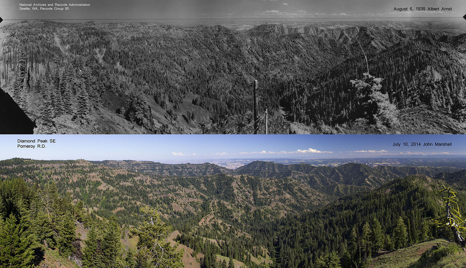
Top photo Albert Arnst 1935 from National Archives and Records Administration, Seattle, WA. Bottom photo 2014 John F Marshall for the Umatilla National Forest.

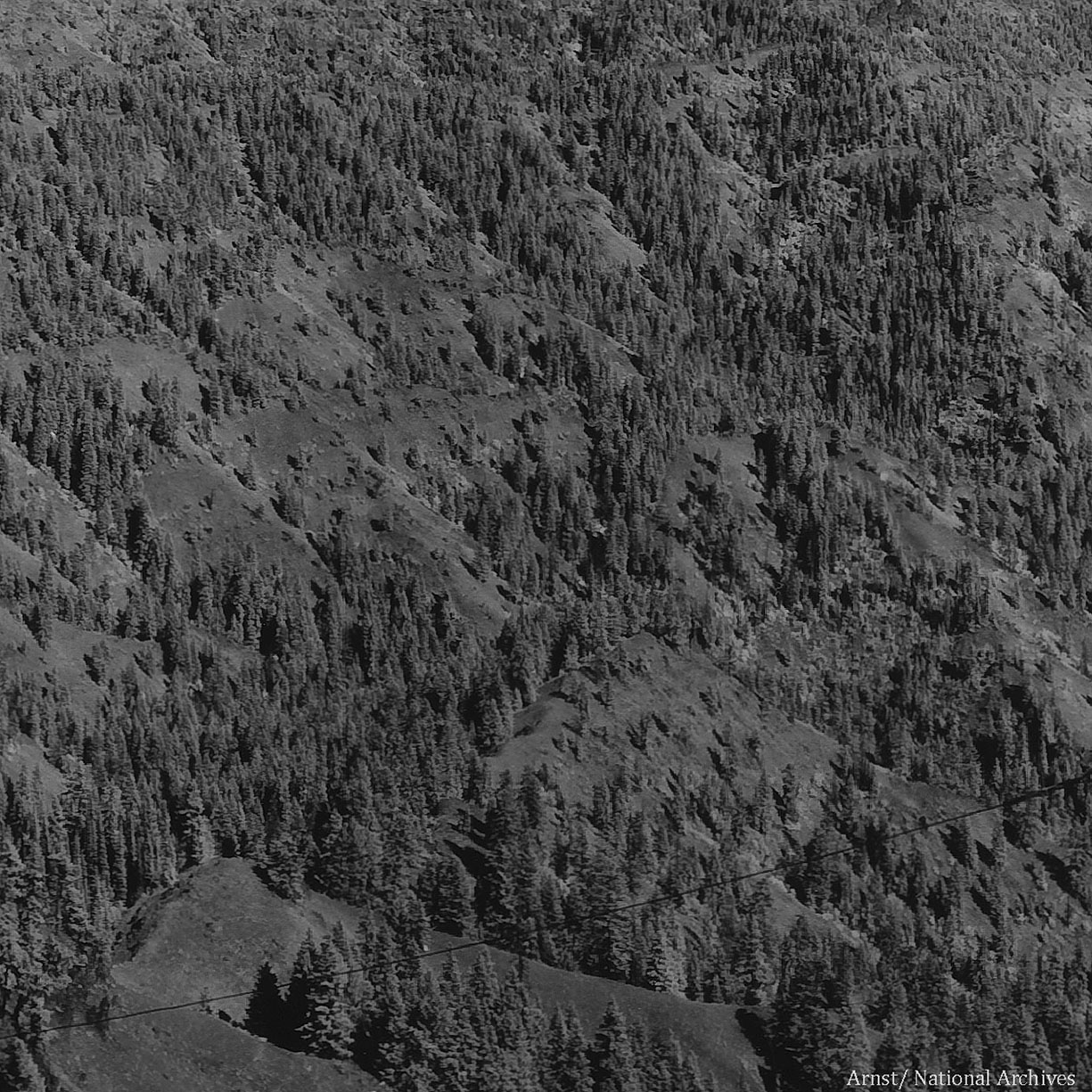
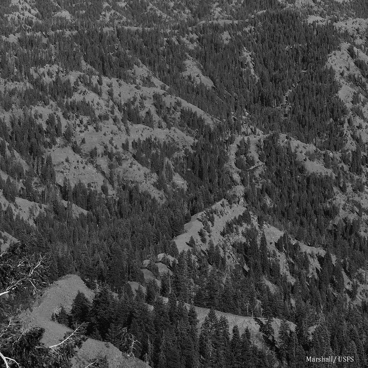
Comparing photos close-up, one can see that in many places the forest is more solid, than it was in 1935. This would be due to the absence of fire. It should be noted that this particular area has not been logged.